Project Description
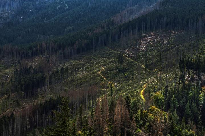
A Deep Learning approach to detecting deforestation risk, using satellite images and a deep learning model. We relied on Planet imagery from two Kaggle datasets (one from the Amazon rainforest and another on oil palm plantations in Borneo) and trained a ResNet model using FastAI.
Task and Results
- Trained a ResNet50 model on FastAI, achieving 95.6% validation accuracy and results comparable to a Kaggle competition’s top of the leaderboard.
- Developed and deployed a dashboard using Streamlit, which enables not only for interacting with our datasets and modeling results but also to test new images.
- Set up a data infrastructure in Google Cloud, where we stored our labels, images and data collected from users.
- Analyzed our model’s performance on out-of-domain data.
- Structured and maintained our group’s project management through a Notion workspace.
- Published a Medium article on Towards Data Science.
- Got the web app featured at the top of Streamlit’s official weekly roundup.
- Highlighted on PyCoders weekly newsletter.